The true location of Castle Dracula, again!
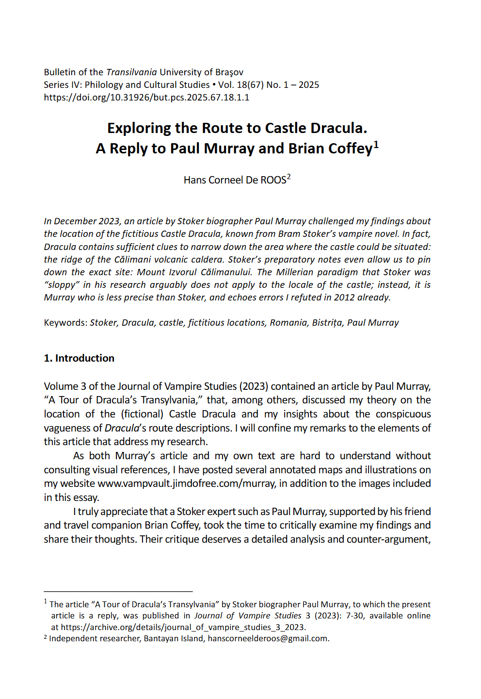
"Exploring the Route to Castle Dracula. A Reply to Paul Murray and Brian Coffey." Bulletin of the Transilvania University of Brasov, Series IV, Vol. 18(67) No.1 (2025), pp. 3-34.
Volume 3 of the Journal of Vampire Studies (2023) contained an article by Paul Murray, “A Tour of Dracula’s Transylvania,” which challenged my theory on the true location of the (fictional) Castle Dracula, as presented in my article “Castle Dracula—Its Exact Location Reconstructed from Stoker’s Novel, his Research Notes and Contemporary Maps,” in “The Dracula Maps,” and in my chapter “Count Dracula’s Address and Life-Time Identity,” included in Dracula: An International Perspective.
My reply has appeared in the March 2025 issue of the Bulletin of the Transilvania University of Brasov, entitled "Dracula and Vampires in Literature, Film, and Popular Culture," edited by Magdalena Grabias, Yuri Garcia, Florin Nechita and Cristian Pralea.
Please note that in the original publication of the Bulletin, the numbering of the illustrations has been garbled. A version with the correct numbering can be downloaded here.
As both Murray’s article and my own text are hard to understand without consulting visual references, I have posted several maps and illustrations on this page, in addition to the images included in my article. A separate PDF with these and other extra visual materials will be presented at the upcoming 'Children of the Night' Dracula Conference by the end of 2025.
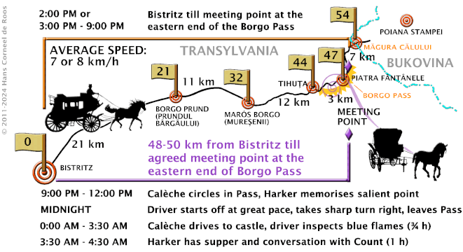
With my reply in the Brasov Bulletin, I hope that the matter is settled for good - unless new notes authored by Bram Stoker would turn up, pointing to an alternative location. Of course, everyone is welcome to try and poke holes in my theory, but before I answer to any new critique, please make sure that you have studied my texts and the geography of Moldavia, Bukovina and Transylvania properly. Analyzing and countering Murray's errors and double-checking all the details of my theory has cost me a significant amount of time - only to conclude that my theory is rockproof. Regarding the precise time schedule of Harker's trip with the Count's caleche, the length of the route, the speed of the vehicle, and the exact moment of arrival, estimates may differ - we only can make an educated guess. But given the range of parameters resulting from the novel's text, the south-eastern ridge of the Calimani caldera still stands out as the most likely area, with several peaks qualifying as the potential site of the castle. Stoker's handwritten note explicitly mentioning Mount Izvorul while plotting the Szganys' route from Straja to Castle Dracula, finally, leaves no room for wiggling. Although I am not even a true Stoker fan, it seems clear to me that the author of Dracula was more precise in his research than any of his modern critics.
Extra paper with more visual materials
SOME OF THE SAME PICTURES CAN ALSO BE VIEWED BELOW THE HORIZONTAL LINE.
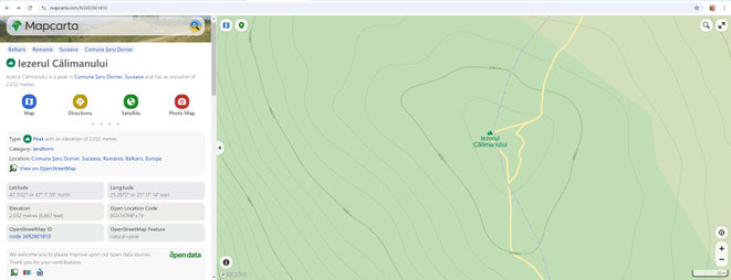
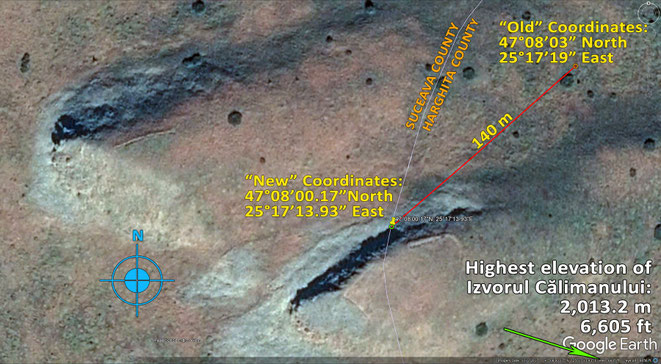
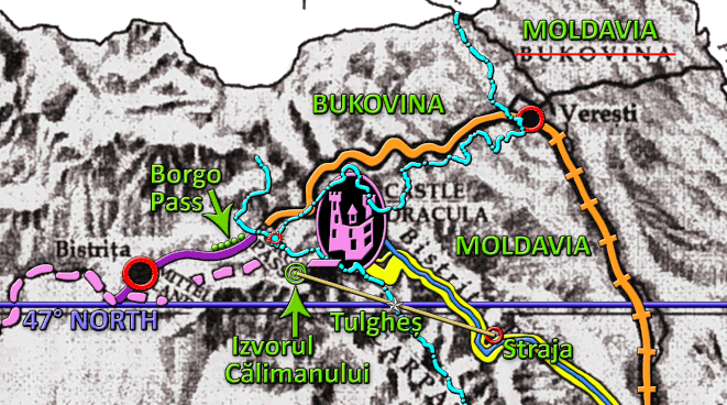
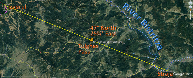
The true site of the fictitious Castle Dracula
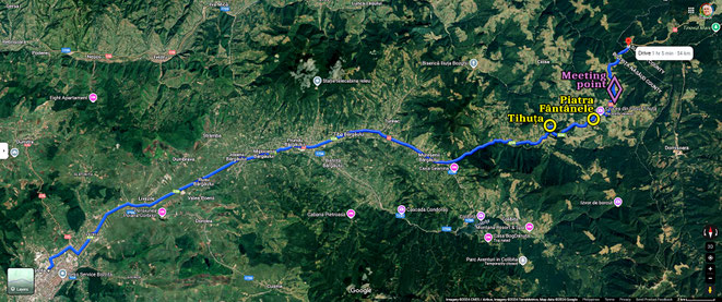
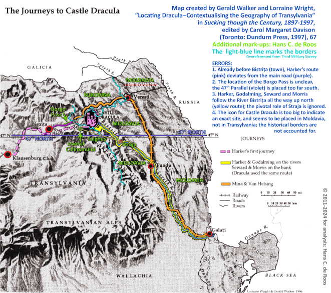
This is the site of the fictitious Castle Dracula as I discovered it in January 2012. Almost 13 years later, I still have no doubt that Mount Izvorul Călimanului is the very mountain top Bram Stoker had in mind while crafting Dracula and describing the routes of Jonathan Harker, Professor van Helsing & Mina, and the four men on horseback chasing the Szgany on their way to the Count's stronghold. Checking all details again in order to reply to Murray's article only strengthened my conviction that I was right; Murray, from his side, failed to understand my theoretical framework and mixed up the site where the Gypsies and their pursuers were supposed to leave the River Bistrița in Moldavia. According to Stoker's notes and Harker's Journal, this must have been at Straja, not at the coordinates 47°N, 25°45'E, as Murray assumes.
Maps & Illustrations


No person familiar with the terrain would try and drive a calèche over the peak of the Pietrosul; the route north of this summit is safer and less exhausting, and is even used for marathon running nowadays.
The route along the ridge of the volcanic caldera is less strenuous than the steep foot walk up from the Neagra Creek to the top of the Izvorul I made twice in 2012. Already north of the Pietrosul, the path reaches an altitude of 1,700 m. From there, the road climbs to 1,974 m just south of the Rețițis, and then descends again, until a "dip" occurs at an elevation of 1,805 m. From there, the terrain ascends once more toward the Izvorul (see next diagram). Like at the Pietrosul, the local pathways developed over centuries allow for a gradual ascent and descent.

Just south of the Saua Voievodesei, the route along the ridge of the caldera (county border) has a "dip." The lowest elevation I could find on Google Earth is 1,803 m. Over a stretch of 2.1km along the available pathways, the elevation increases again, by altogether 210 m, until the top of the Izvorul is reached at 2,013 m. The average pitch is 10%, which corresponds to an angle of 5.7%. For a team of four "splendid" horses drawing a light calèche with only two persons, this incline should be no problem; see the calculations posted at Reddit and Worldbuilding Stackexchange.
NOTE: All images shown below are circulating on the Internet. Some of them, such as the photos by Adolph Chevallier, or the pictures of steam launches and rescue boats, are still under copyright. They are shown here by way of "Fair Use," for non-commercial, academic reference only. The copyright remains with the respective photographers. Attribution will follow.
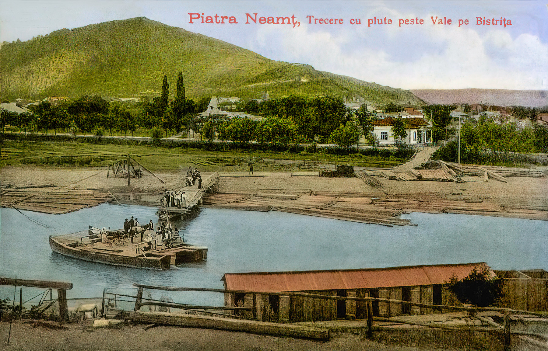
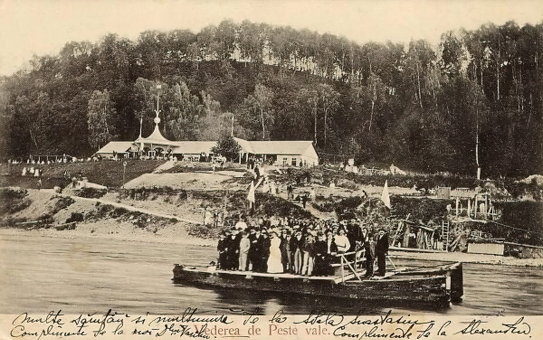
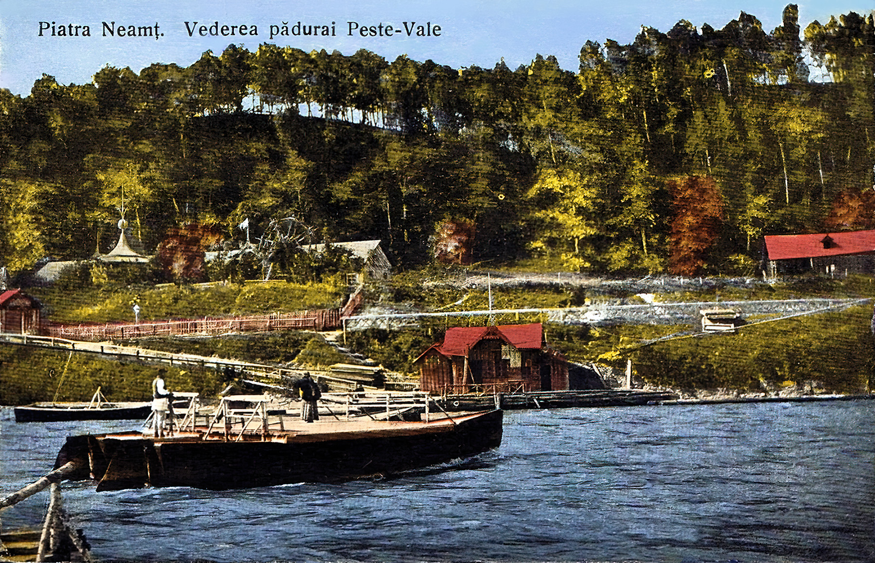
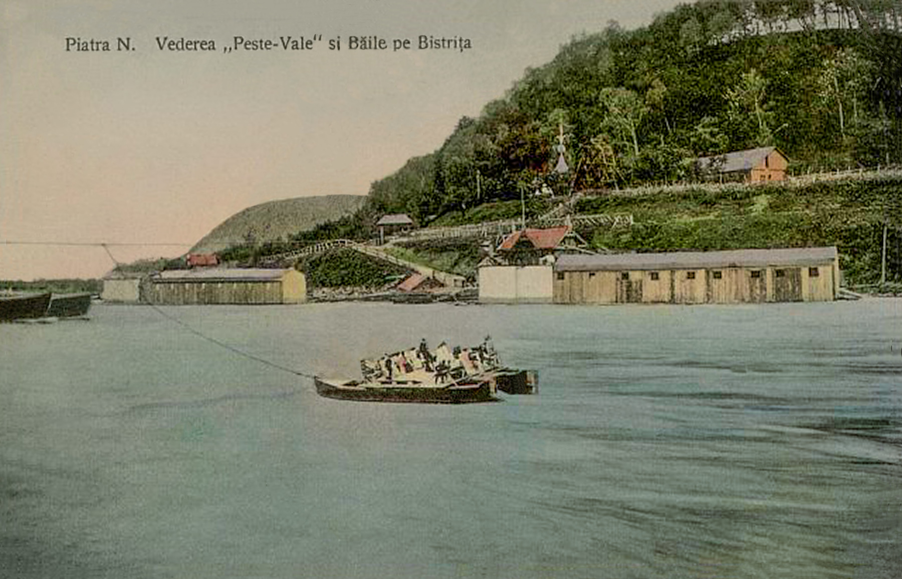
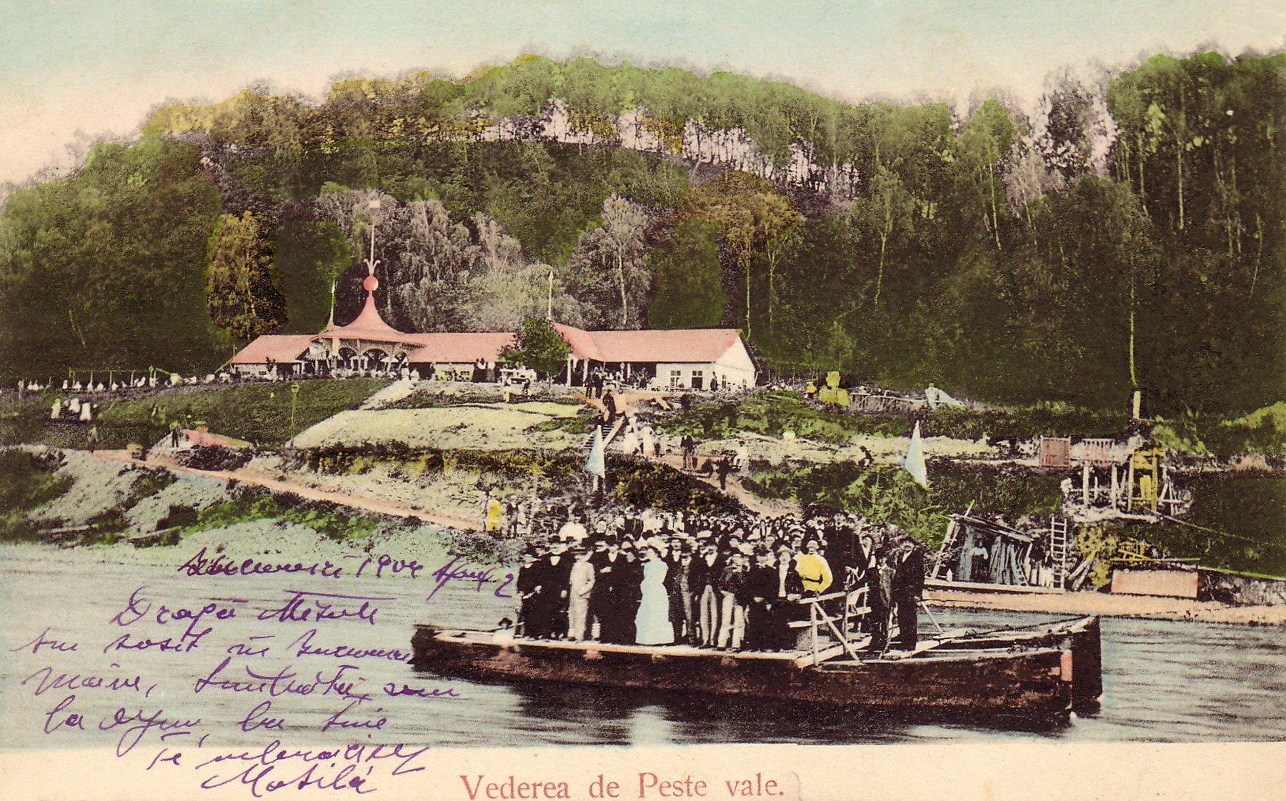
Pontoon ferry at Peste Vale, 1900-1940


Rafts on the River Bistrița
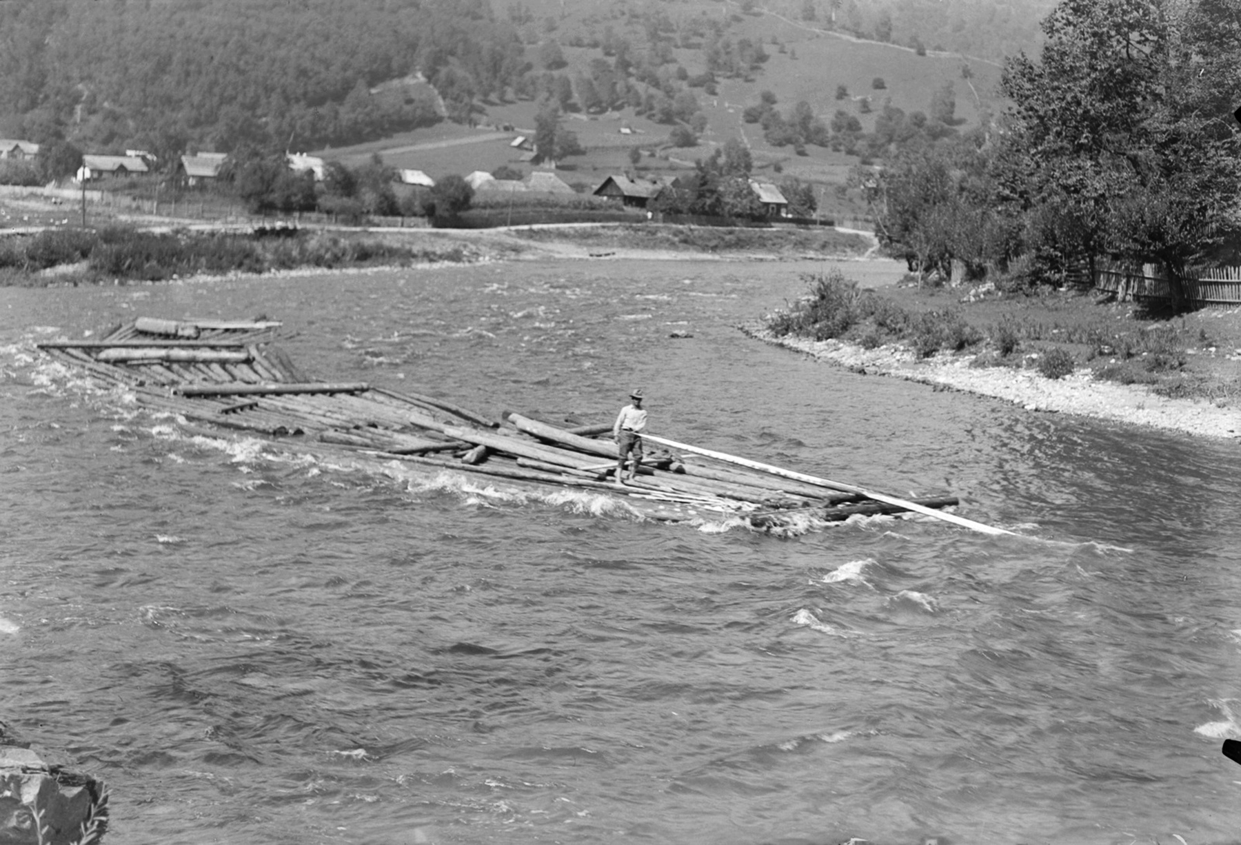
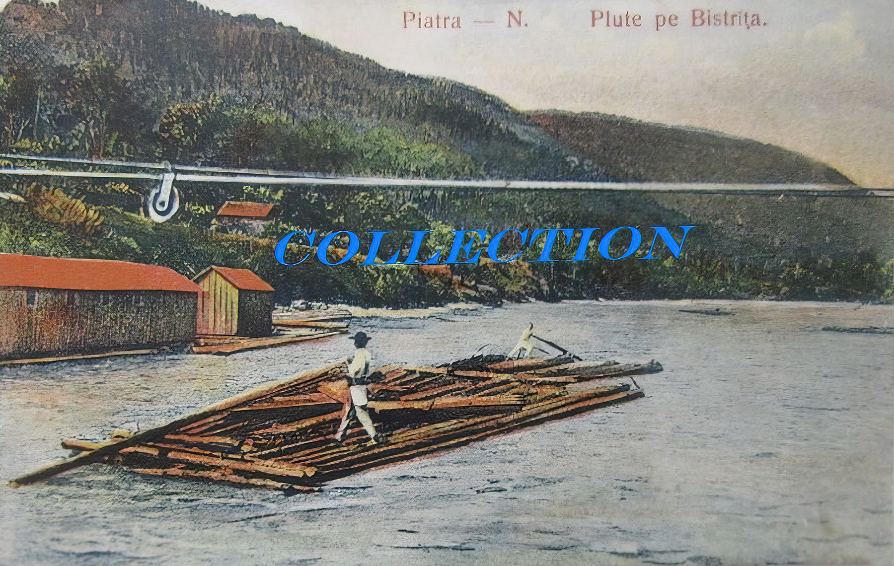
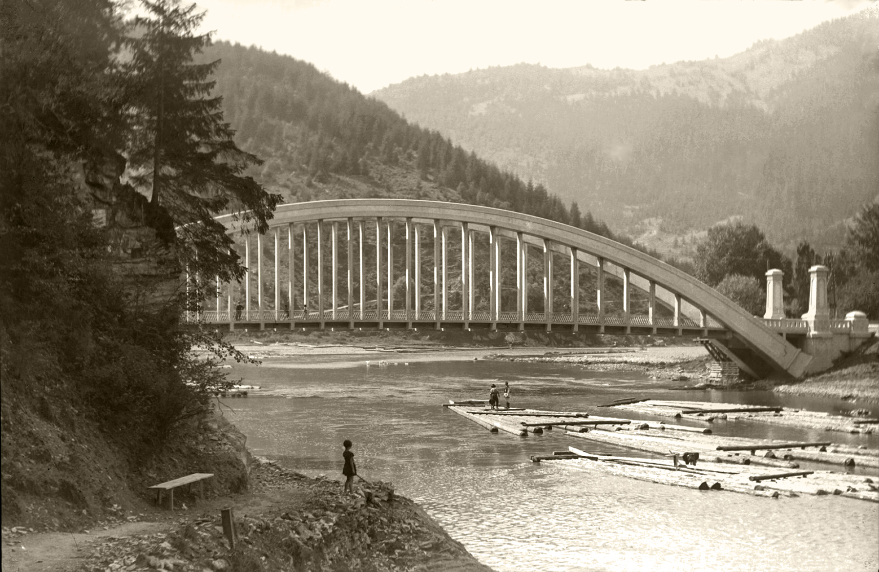
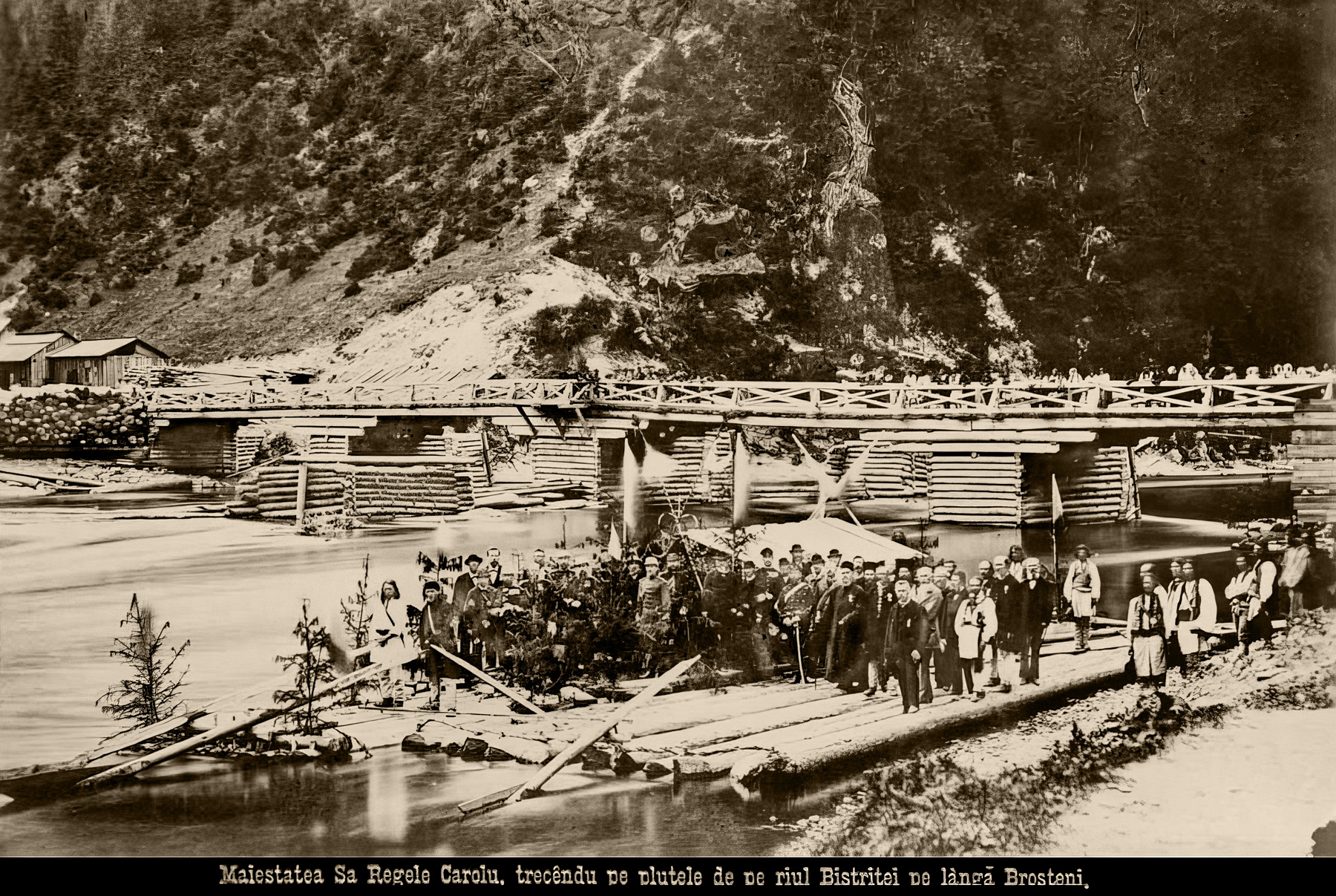

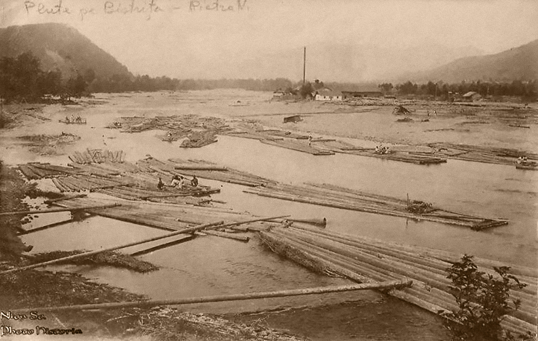
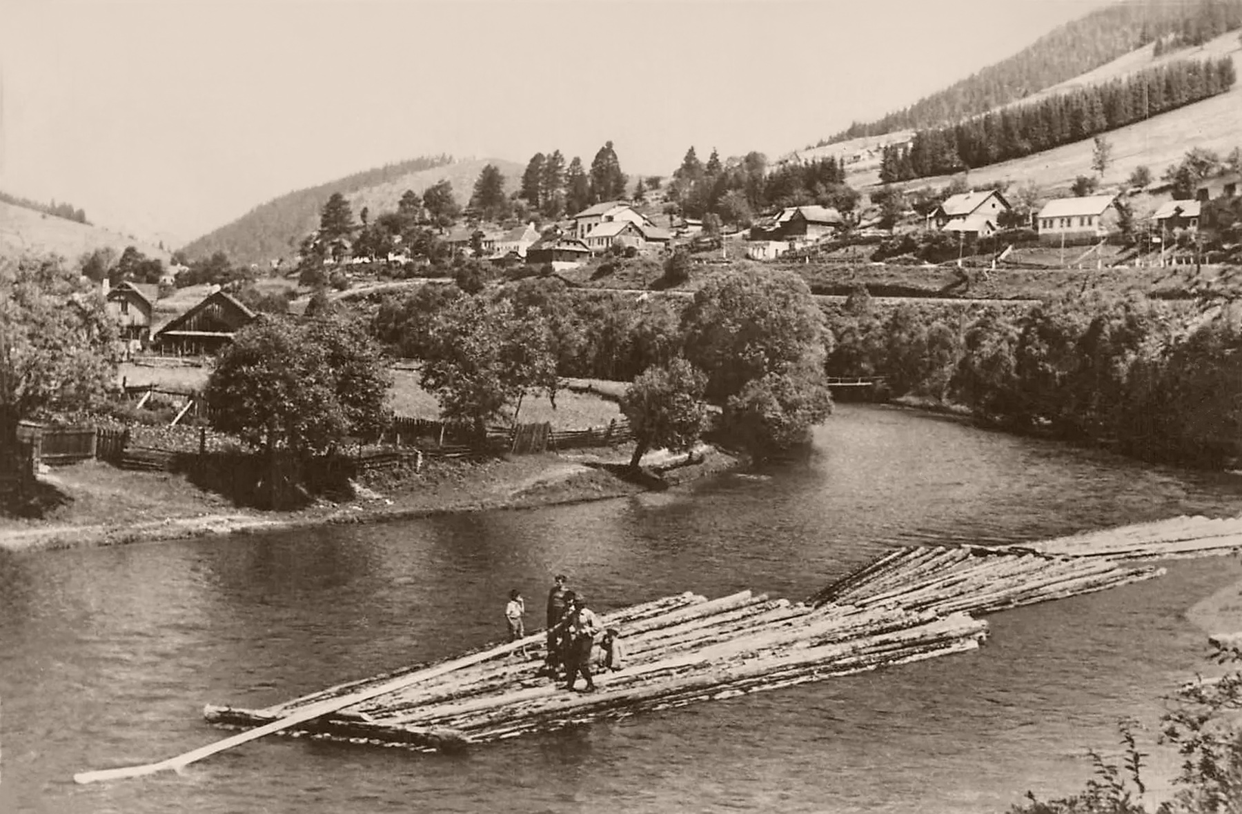
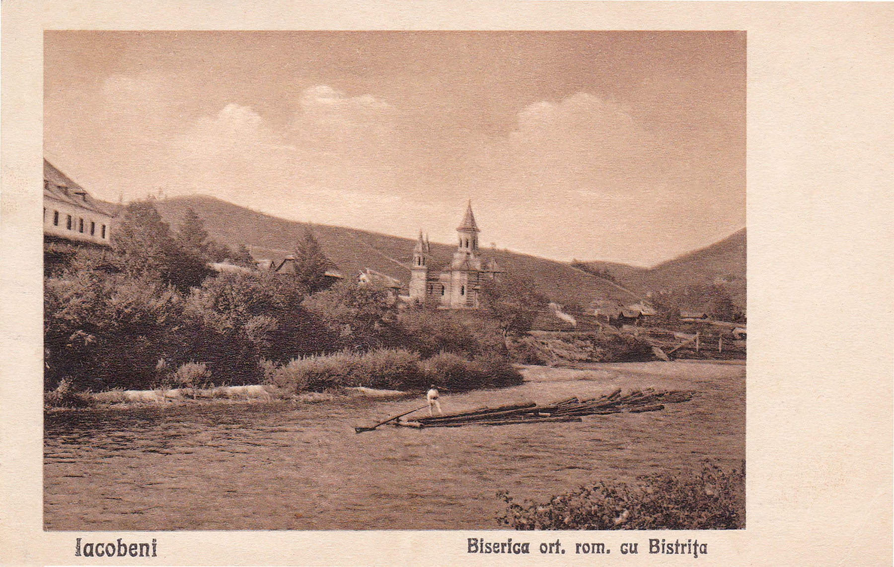


These photos show rafts on the River Bistrița, before the Bicaz Dam created a wholly new situation. Some of them were taken as far north as Iacobeni in Bukovina, near the origins of the river, more than 100 km upstream from Straja. Although the route was not without obstacles, shallows and rapids—as duly acknowledged by Stoker—, already at Iacobeni the Bistrița was obviously more than just a creek.
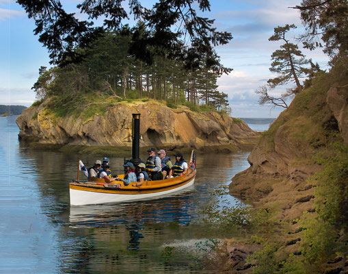
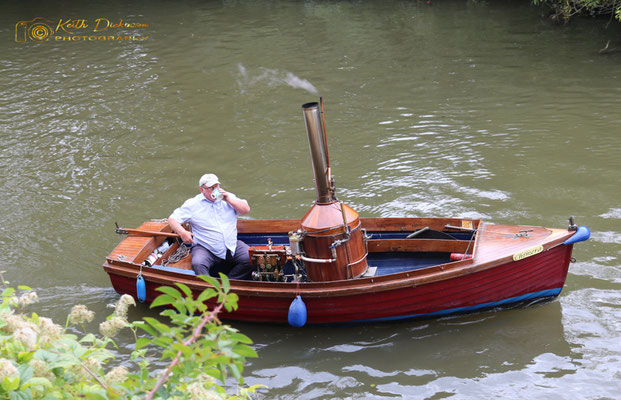
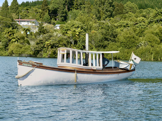
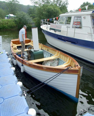
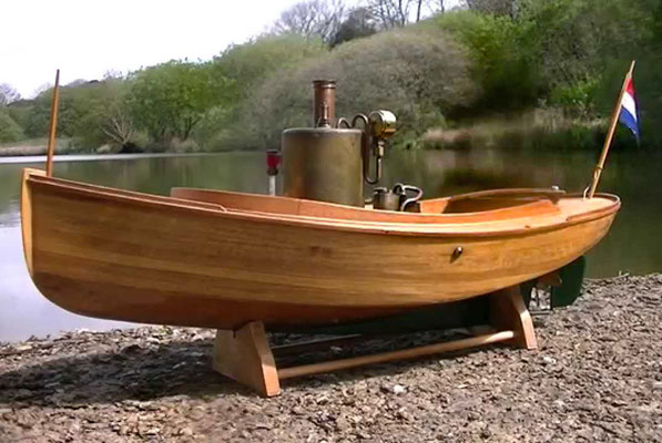
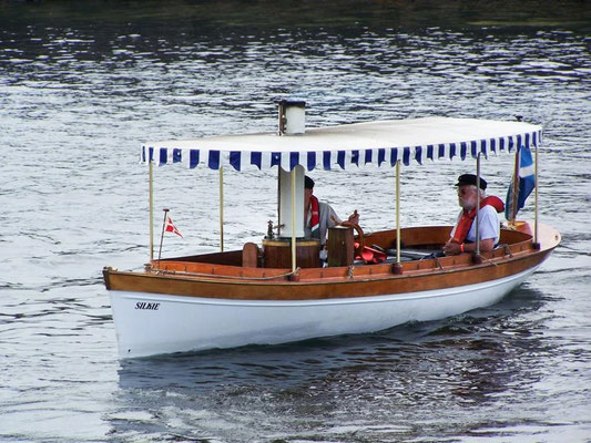
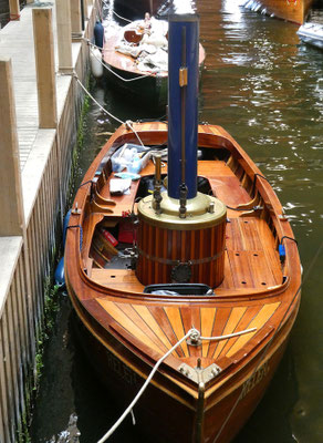
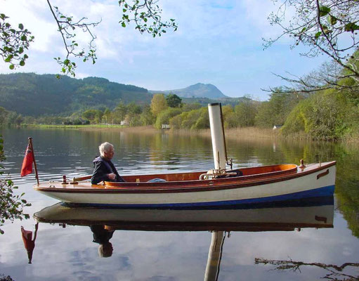
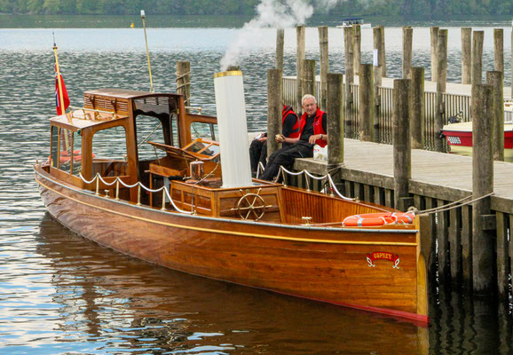
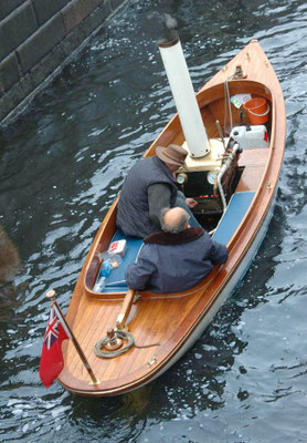
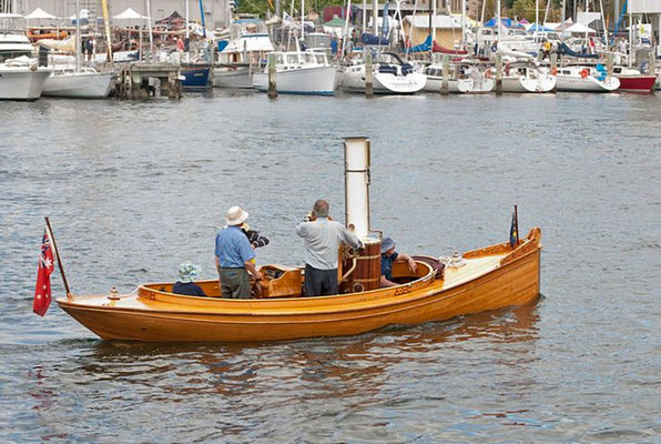
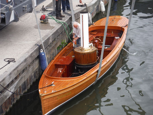
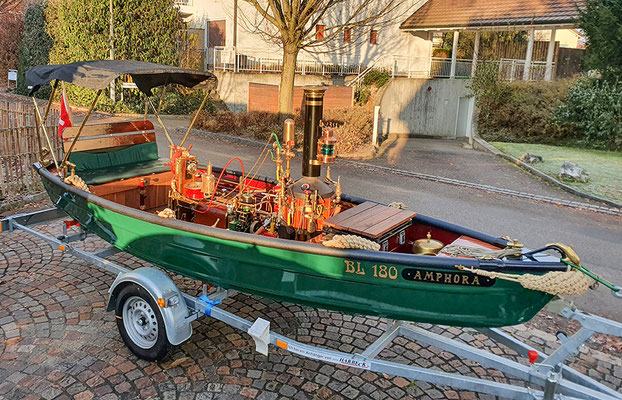
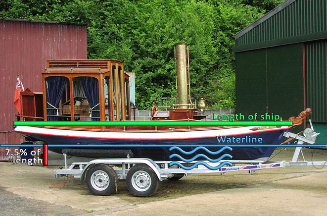
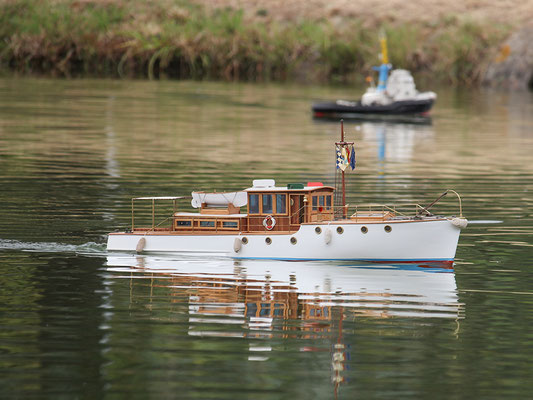
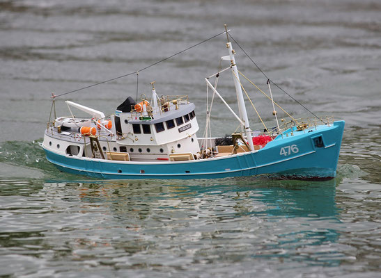
Steam launches
Various small steam launches that I assume to be similar to the “swift little steamboat” (Van Helsing) acquired by Arthur Holmwood. As the photos show, a steam launch manned by two persons does not need to be longer than 5-6½ meters. For the boats depicted here, the keel is not deeper than the hull itself; they have a very shallow draft.
Hundreds of photos of steam launches can be found at https://steamboat.org.uk/register.php.

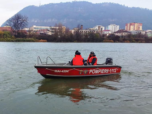
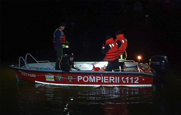
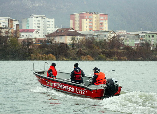
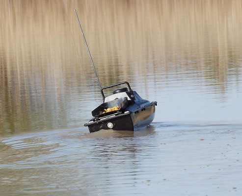
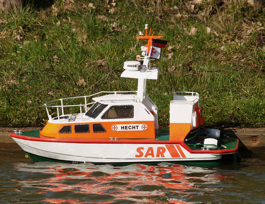
Boats used by the rescue brigades in Piatra Neamț and Borca
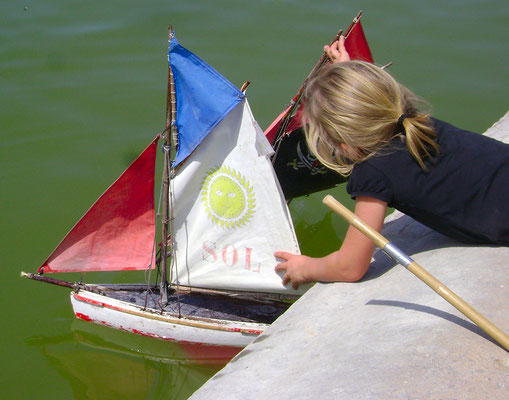
Toy boats
All pictures: Pixabay.
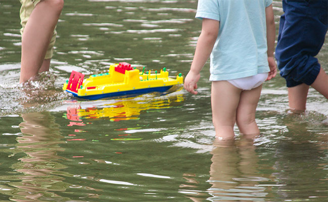

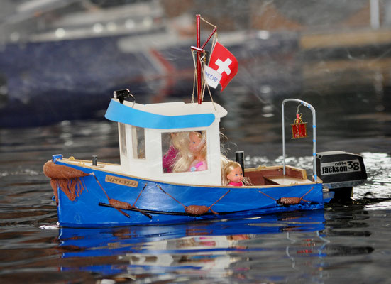
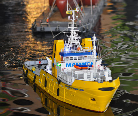
As you can guess from these pictures, toy boats have a draft between 5 and 10 cm. Murray's claim that the River Bistrița at the point where the Count's men left it was only a small stream which could hardly have accommodated a toy boat is not correct—unless he was looking for the Bistrița at the wrong place, far from the actual river....
Width of the River Bistrița near Straja und Vatra Dorna